| |

|
Click the link below each photo to download a Sectional map. This will
either load the photo in your browser, enabling the photo to be
downloaded using the Browser "Save Image As..." option, or a "Save As..."
option will appear immediately after clicking the link. These two
possibilities will depend on the File type and/or the browser you are using.
|
ARMY CORP. OF ENGINEERS SECTIONAL MAPS:
|
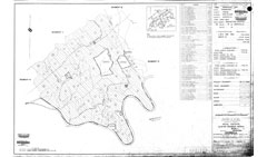
Army Corp Map 'A' (Wheat, TN)
|
|
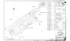
Army Corp Map 'B' (Scarboro, TN)
|
|
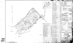
Army Corp Map 'C' (Robertsville, TN)
|
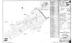
Army Corp Map 'D' (Robertsville, TN)
|
|
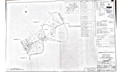
Army Corp Map 'E' (Edgemoor, TN)
|
|
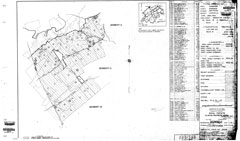
Army Corp Map 'F' (Robertsville, TN)
|
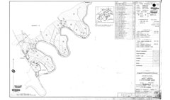
Army Corp Map 'G' (Scarboro, TN)
|
|
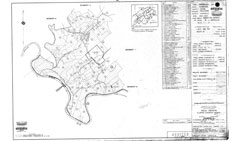
Army Corp Map 'H' (Wheat, TN)
|
|
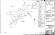
Army Corp Map 'I' (Wheat, TN)
|
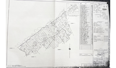
Army Corp Map 'J' (Wheat, TN)
|
|
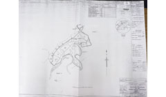
Army Corp Map 'K' (Wheat, TN)
|
|
|
LOCAL REGIONAL MAPS:
|
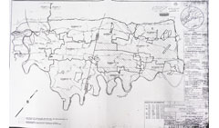
Army Corp Map Key
|
|
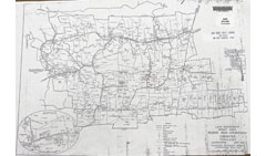
1937 TVA: Wheat Community Map
|
|
|
|
- Army Corp. of Engineer Sectional maps provided by: Byron Hartzler, Michael Hartzler and Michael Stallo.
- Army Corp. of Engineer Sectional maps were originally obtained by Don Raby and Bob Copeland years ago.
- Original maps source: "Kingston Demolition Range" photo collection located at the National Archives
in Atlanta, Georgia.
|
|
|
|
|